3D Printable Maps

3D models of real-world places used to require an entire survey team and hours upon hours of labour. With 3D printing and Google maps, the work involved is now trivial. To begin with, here is a tutorial from PrusaLabs on how to acquire and manipulate the terrain data.
The PrusaLabs tutorial is primarily for 3D printing, but there’s no reason why this couldn’t be used as a game asset, or part of a digital art project.
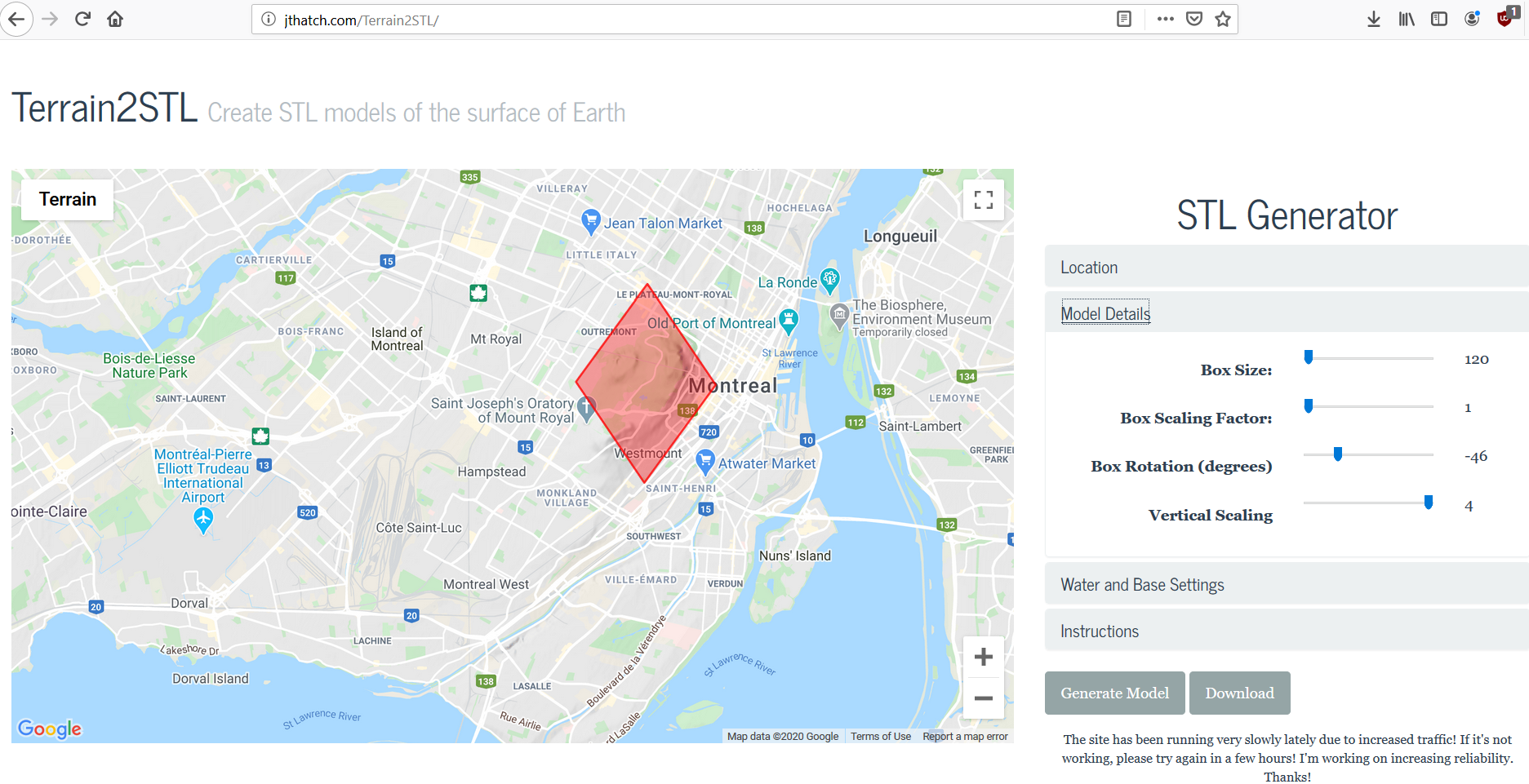
Here are some screen shots of this process being used on Mount Royal:

Naturally, there are other ways to accomplish this, and other more open databases to draw upon, but this process is rather quick and simple–it doesn’t get easier than this.